Did Every Part of Ohio Move to a Warmer Plant Hardiness Zone?
A warmer zone on a plant map can make it tempting to buy less-cold-hardy plants or start planting earlier. But Ohio did not shift uniformly, and a hardiness zone does not tell you when spring frost will end. Here’s what the map change means, how to check your own area, and how to use zone information without letting it overrule local weather and planting conditions.
The short answer: no, Ohio did not shift uniformly
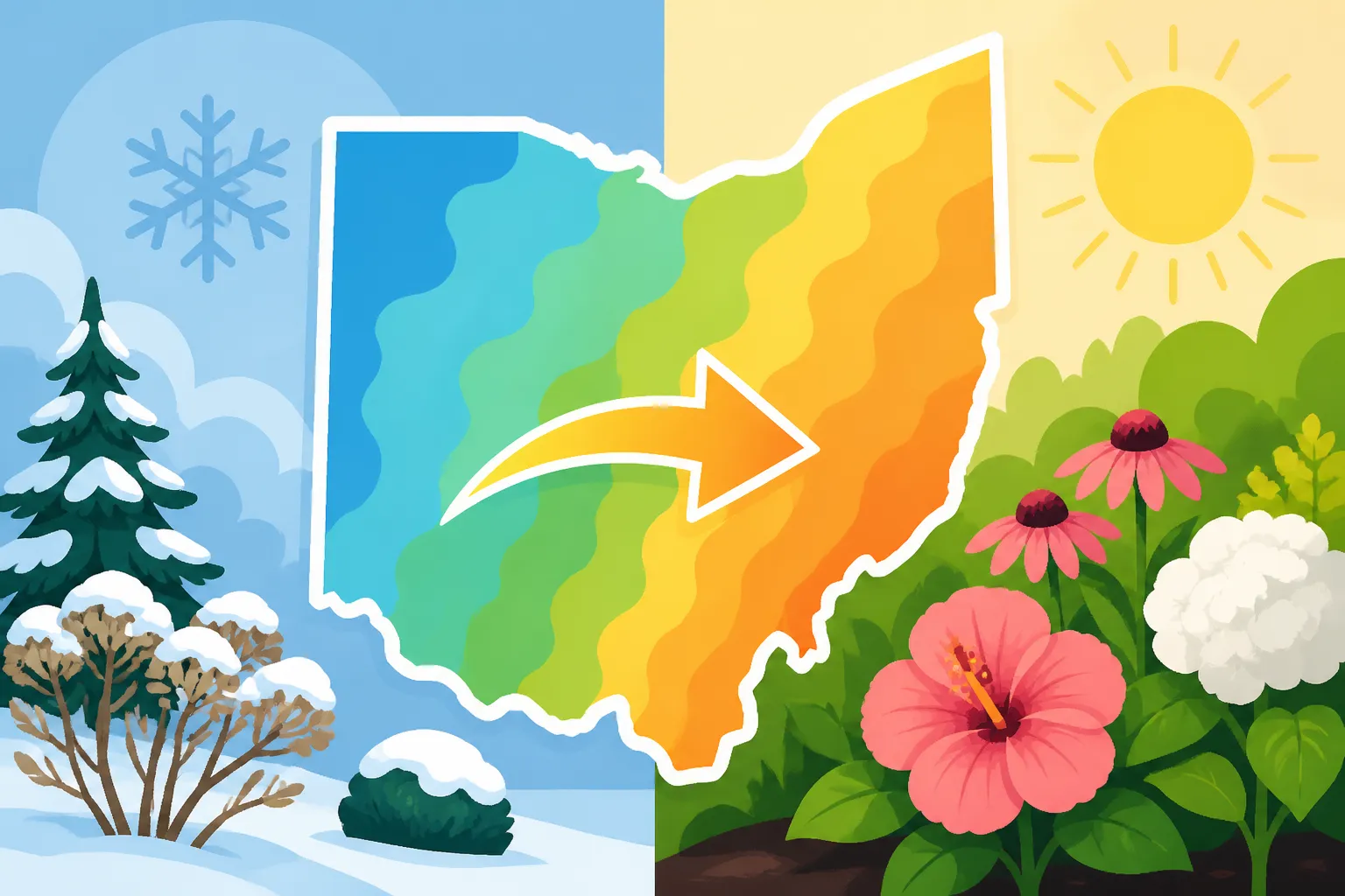
Parts of Ohio are transitioning from Zone Five to Zones Six or Seven, according to The Ohio State University State Climate Office of Ohio. That does not mean every part of the state moved into a warmer zone. The change varies by location, so a statewide summary cannot tell you which zone applies to your particular garden.
The Ohio State University describes the 2023 maps as the most up to date since 2012. A new map can change how an area is classified, but that doesn’t mean every site experienced the same shift or that its outdoor conditions have suddenly become identical to those in a warmer region.
For gardeners, the useful question is not simply, “Did Ohio get warmer?” It is, “What does the current map show for the area where I garden, and what does that information actually help me decide?” Checking the map for your location is more useful than applying a single statewide label. For background on how the state’s mapped regions are arranged, see Ohio Plant Zones: How USDA Hardiness Regions Divide the State.
Even a correct zone reading is only one part of a planting decision. It can help you assess whether a perennial or woody plant is likely to withstand typical winter cold in a location. It cannot tell you when the soil is workable, when a late frost might occur, whether a tender vegetable is ready for outdoor conditions, or how a particular bed will behave.
The practical takeaway is to use the current zone as a guide to long-term winter suitability, not as a promise of milder weather or an all-purpose planting calendar. For planting timing, local frost expectations, soil conditions, and the needs of the plant matter too.
What a plant hardiness zone can—and cannot—tell you
A hardiness zone is a way to group locations according to their typical winter cold. Gardeners use it to estimate whether a perennial plant, shrub, or tree may be able to survive the winter outdoors in a given area. It is a useful screening tool when comparing plants with different cold tolerances, but it describes only one dimension of growing conditions.
That distinction matters because “can survive winter” is not the same as “will thrive in every part of the garden.” A plant might tolerate the usual winter cold associated with a location and still struggle in a wet spot, a windy exposure, heavy soil, deep shade, or a heat-stressed bed. A map category cannot account for every feature of an individual yard.
A zone is not a promise about one winter
Hardiness zones summarize patterns; they do not predict the weather for a particular season. A warmer zone classification does not rule out a severe cold spell, nor does it guarantee that a borderline plant will make it through every winter. Weather varies from year to year, and conditions at a garden site can differ from what a broad map can represent.
A plant’s survival also depends on how well it becomes established, its exposure, drainage, and the timing of seasonal growth. A plant may be more vulnerable if it enters winter stressed or if a warm spell encourages new growth before cold returns. For context on this risk, see Why Sudden Ohio Cold Snaps Can Damage Warmer-Zone Perennials.
A zone is not a spring planting date
Hardiness zones are often mistaken for a signal that it is safe to put seeds or tender transplants outside earlier. They do not provide a last-spring-frost date, a soil-temperature reading, or a forecast. A warmer zone does not mean spring frost has passed.
This is particularly important for vegetables. Cool-season crops can often cope with conditions that would harm tender crops, while warm-season plants generally need warmth in the soil and air. A zone label alone does not tell you whether those needs are met today. For a closer look at the difference between winter hardiness and planting timing, read Hardiness Zones vs Frost Dates: What Controls Ohio Planting Timing.
A zone is not a full description of climate
Two gardens assigned the same zone may still have different growing conditions. Soil texture, drainage, sun exposure, wind, shade, and the shape of the land can influence how plants perform. A low, sheltered spot may behave differently from an exposed bed nearby; a paved, sunny corner may warm up differently from a shaded garden.
Those differences don’t make the map useless. They show why it should be used as one decision tool rather than treated as a complete description of a site. If a plant is near the edge of its cold tolerance, the garden’s exposure and the care it receives may be just as important as the map label.
Why Ohio’s zone changes are not the same everywhere
A map divides a continuous landscape into categories. The boundary between zones is a useful way to communicate broad patterns, but it should not be read as a sharp line where one yard has a completely different climate from its neighbor. The shift reported for parts of Ohio does not mean that every community, neighborhood, or property moved by the same amount.
The map also cannot show every small-scale variation. A garden’s position, nearby buildings, shade, wind exposure, and drainage can make its conditions different from those of another site in the same mapped area. Even a map designed to describe broad patterns has limits when it is applied to a specific bed.
Statewide labels hide local differences
Saying that a state is in a particular zone can be convenient for a general conversation, but it can also hide meaningful variation within the state. Ohio gardeners should avoid treating one zone description as a universal answer for every location. The reported transition from Zone Five to Zones Six or Seven applies to parts of Ohio, not automatically to the entire state.
That is why a map lookup for the garden’s location is preferable to relying on a broad summary. If you’re comparing a property with another location, check each separately rather than assuming they share a zone because they are in the same county or general region. Northeast to Southern Ohio: Reading the Regional Plant Zones Map provides more context for thinking about the state’s regional pattern.
A mapped boundary is not a fence around your garden
A map boundary is not a physical barrier, and plants do not respond to it as though a line had been drawn across the ground. A small shift in mapped classification does not necessarily produce an obvious difference in every plant’s performance. Local exposure and the plant’s own tolerance still matter.
This is one reason to be cautious about making a large garden redesign based on a zone change alone. The map can suggest that a plant may be worth considering, but it cannot guarantee success. Before investing in a plant that is close to the edge of its cold tolerance, think about whether its preferred soil, light, moisture, and exposure are available in your garden.
A new map does not make every past observation irrelevant
Gardeners often have useful records: which plants returned after winter, which beds stayed wet, and which spots are exposed to wind. Those observations remain relevant, even when a map is updated. The map adds another reference point; it does not replace what you know about the site or what you observe over time.
A plant that has survived in a sheltered location may not perform the same way in an exposed bed. Likewise, a plant that struggled in poorly drained soil may not have failed because its zone was unsuitable. Separating winter cold from other causes of stress helps you interpret the map more carefully.
What the updated map means for plant choices
The most direct use of a zone map is to narrow the list of plants worth considering. When a plant’s stated cold tolerance fits the location, the map offers a reason to consider it—not a guarantee that it will flourish. When a plant is marginal for a location, the map is a prompt to investigate further and weigh the risk, rather than an automatic reason to reject it or plant it.
This can be especially useful when choosing long-lived plants. A tree or shrub is a more substantial commitment than a seasonal planting, and a perennial may take time to establish. A mapped shift may encourage you to revisit a plant list, but choosing well still means matching the plant to the whole site.
Use the map to screen, not to certify
When comparing plant choices, first look for information about cold tolerance, then consider whether the garden’s conditions suit the plant. Ask whether the site drains well, whether it gets the light the plant needs, and whether it faces strong wind or other stresses. A plant with suitable cold tolerance can still be a poor match for the bed.
Be especially careful with plants described as borderline or marginal for your location. A warmer zone classification might make a plant seem more promising, but a map cannot guarantee survival during unusually harsh conditions. If the plant is costly, hard to replace, or important to the design, consider whether you are comfortable with the risk.
For a broader approach to choosing plants as mapped boundaries evolve, see Evaluating Ohio Perennial Choices Under Evolving Zone Bounds. The basic principle is to weigh the zone alongside the plant’s other needs, rather than selecting by zone alone.
Give extra thought to plants that have little margin
Some plants are described as hardy for a range of conditions. If your location falls near the colder end of that range, or if the site is exposed, consider that there may be less room for error. Sheltered placement may help some plants, but it should not be treated as a way to guarantee survival.
For a marginal choice, consider the consequences of losing it. If you want to experiment, starting with a small number of plants may be a lower-risk approach than designing an entire border around them. If reliability matters more than experimentation, choose plants with a comfortable margin for your location and site conditions.
Don’t use a warmer zone to justify a sudden change in planting habits
A zone update does not, by itself, mean that warm-season crops can go outside sooner. Vegetables have different temperature needs, and a perennial’s ability to survive winter does not tell you whether a tomato transplant can tolerate chilly spring weather. Use a planting calendar that accounts for crop type and frost risk instead of treating a zone label as a date.
For practical timing decisions, Annual Ohio Planting Calendar: Month-by-Month Outdoor Chores offers a seasonal framework, while Spring Frost Probabilities and Garden Planting Across Ohio focuses on spring risk. These topics address a different question from winter hardiness: when outdoor conditions are appropriate for a particular planting task.
How to check the zone for your own garden
A location-specific map lookup is a better starting point than a general statement about Ohio. The answer is not a permanent guarantee, but it gives you a more relevant reference for choosing plants than assuming the whole state shares a single zone.
Check the mapped location, not just a statewide summary
Use the current interactive zone map to look up the area where the plants will go. If a property has more than one gardening area, consider whether each area has a distinctly different exposure or setting. A map result for a general location still cannot capture every detail of a yard, but it is more useful than applying a statewide label to every bed.
The map is an aid to interpretation, not a substitute for local observation. Pay attention to whether the site is sheltered, exposed, sunny, shaded, wet, or well drained. These details can help explain why a plant performs differently from what a broad map category might lead you to expect. For a walkthrough of using a map lookup for a specific location, see Using the Interactive USDA Zone Map for Your Ohio Address.
Read plant tags and descriptions with care
When a plant label gives a hardiness range, compare it with the result for your location. Remember that a listed range does not tell you how the plant will respond to every site condition. Find out whether the plant needs particular drainage, soil, moisture, or light conditions, and consider whether your garden can provide them.
Look for language that distinguishes winter survival from good growth. A plant may be able to survive in a location yet grow poorly there, or it may need a protected site. If the description is unclear, seek additional plant-specific information before making a major purchase or redesigning a bed around it.
Keep simple notes about what happens
A garden record can help put the map in context. Note which plants return after winter, which areas experience cold exposure or standing water, and where plants show signs of stress. The purpose is not to turn every planting into a formal trial. It is to build a more accurate picture of your own site over time.
If a plant fails, consider several possible causes before blaming the zone. Soil that stays wet, drought stress, poor establishment, pests, disease, or unsuitable light may explain the problem. If the plant survives but performs poorly, the same site factors may be involved.
These notes can also help you make measured changes. Rather than replacing an entire planting based on a map update, use the new information to review uncertain choices and decide where an experiment makes sense. A map can inform those decisions, while your observations show how the specific garden responds.
Common misunderstandings about a warmer zone
A zone change can attract attention because it seems to offer a simple answer about climate and gardening. The most common mistakes come from asking the map to answer questions it was not designed to answer.
“The whole state is warmer now”
The reported change does not apply uniformly across Ohio. Parts of the state are transitioning from Zone Five to Zones Six or Seven, but this does not mean every location moved to a warmer zone. Check the map for the garden’s location instead of assuming a statewide shift.
The word “transitioning” should also not be taken as a promise that a given garden will now behave exactly like a garden in another location. Mapped classifications summarize conditions; they do not erase local differences or year-to-year variation.
“A warmer zone means the frost season is over earlier”
A hardiness zone is not a spring frost forecast. A warmer zone result does not establish when frost will end or when tender plants can safely go outdoors. For frost-sensitive planting, use information about local frost timing and the needs of the crop. Managing Late Spring Frost Threats After Warm Spells explains why a spell of warm weather does not necessarily settle the question.
“If a plant is listed for my zone, it will thrive”
A zone match suggests that a plant may tolerate typical winter cold for the mapped area. It does not ensure the plant will get the right light, soil, drainage, or moisture. Nor does it account for every unusual cold event or the condition of the plant going into winter.
Think of the zone as an initial filter. A good choice also fits the physical conditions of the site and the level of care you can provide. If a plant has several demanding requirements, zone suitability alone is not enough.
“The map update means I should replace plants that used to be too cold-hardy”
There is no need to remove a healthy plant simply because a map has changed. A plant that has done well in your garden may still be a good choice, and a local classification change does not make it unsuitable. The update is most useful when you are making a new decision, reconsidering a borderline plant, or trying to understand why plants behave differently across locations.
The map can open up new possibilities, but it does not require a redesign. Keep reliable plants that suit the site, and treat newly plausible choices as options to evaluate rather than automatic replacements.
A practical way to use the zone change
The most useful response to the updated map is a careful review, not a rush to plant differently. If you are planning a garden, make decisions in stages:
- Look up the location. Use the current map for the area where the plant will grow, rather than relying on a statewide summary.
- Check the plant’s cold tolerance. Treat the map as a screening tool and notice whether the plant is a comfortable match or a marginal choice.
- Match the plant to the site. Consider sun, shade, soil, drainage, wind, and moisture needs.
- Keep winter hardiness separate from planting timing. Use frost and seasonal guidance to plan when to sow or transplant, especially for tender crops.
- Make higher-risk choices deliberately. If you want to try a plant near its cold limit, consider the cost of failure and whether the site offers protection.
- Observe and adjust. Record what returns and what struggles, then use those observations along with the map when making future choices.
This approach works whether the map shows a location in the same zone it had before or in a warmer one. It also helps avoid a common planning error: treating a broad classification as though it could describe every part of a property or settle every question about what to plant.
For help connecting hardiness, frost timing, and the overall planting season, see Adjusting Ohio Planting Schedules Across Shifted Zones. The key is to match each tool to the question it can answer. Use a zone map for winter plant suitability, and use seasonal and frost information for decisions about when to plant.
Frequently Asked Questions
Did all of Ohio move to a warmer plant hardiness zone?
No. The reported transition applies to parts of Ohio, not the entire state. Check the current map for the location where you garden.
Does a warmer zone mean I can plant vegetables earlier?
Not by itself. A hardiness zone does not tell you when spring frost will end or whether soil and air conditions suit a particular crop. Use crop-specific planting guidance and local frost information.
Should I replace plants that are already growing well?
Usually, a map update alone is not a reason to remove healthy plants. Keep considering the conditions of your garden and the plants’ performance there.
Can a plant fail even when the zone looks suitable?
Yes. A zone is only one factor. Poor drainage, unsuitable light, exposure, plant stress, or other site conditions can affect performance, and a mapped category cannot guarantee survival in every winter.
Sources
- The Ohio State University State Climate Office of Ohio — Plant Hardiness Map Reflects Climate Change Impacts on Ohio | State Climate Office of Ohio (checked November 14, 2026)
Disclaimer
This article is for general informational purposes only and does not constitute professional advice. Laws, prices and regulations vary by location and change over time. Consult a qualified professional for guidance on your specific situation. Ohio Gardening Guide is not a government agency and is not affiliated with any university extension, state department of agriculture or other government agency.